Sky Dragon Expeditions

Getting here

Flights and borders

Bhutan is reached by air through Paro or overland through a small number of recognised border towns. Neither is complicated, but both need planning further ahead than you would expect.

By air

Paro is the principal gateway

Paro International Airport sits at about 2,235 metres in a valley ringed by peaks, and the approach is genuinely spectacular. Two carriers fly it: Drukair, the national airline, and Bhutan Airlines. Between them they connect Paro with a limited number of regional cities — routes and frequencies change seasonally.

Two practical points. First, Paro is not Bhutan’s only airport — there are domestic airfields at Bumthang, Yonphula and Gelephu, and aviation infrastructure is being expanded. Second, seats are finite and the aircraft are small, so book the international leg early, particularly around festival dates.

Flying in from the west — Delhi or Kathmandu — the Himalaya is on the left-hand side. On a clear morning you can pick out Everest, Kangchenjunga and, closer in, Jomolhari. Ask for a left window seat and check in early; it is the best view you will get from an aircraft anywhere.

Weather cancellations happen. Paro is flown visually, so low cloud delays departures and occasionally cancels them. Never book a tight onward connection on your departure day.
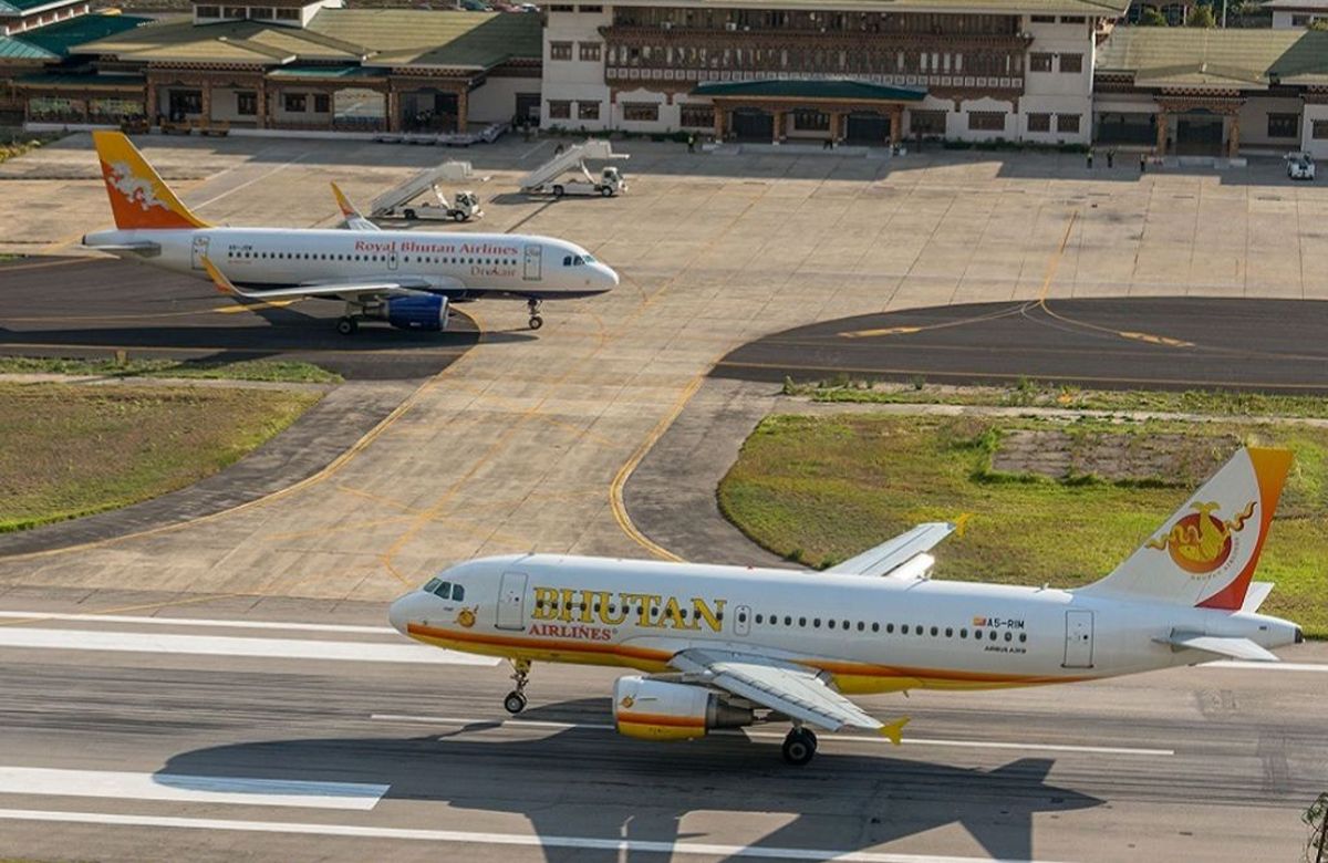
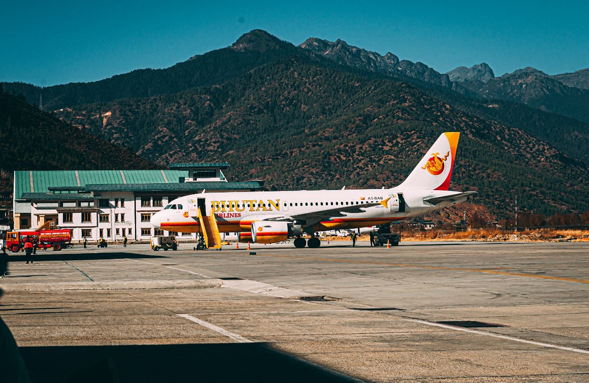
An aircraft on the apron at Paro International AirportAn aircraft on the runway at Paro
Domestic flights

Three airfields, and a caveat

Bathpalathang, Bumthang

Saves the two-day drive from Paro to the central valleys. Useful on Dragon's Heartland if you would rather not drive both ways.

Yonphula, near Trashigang

An hour from Trashigang on a ridge at about 2,500 metres. It turns the eastern journey from a two-week round trip into something manageable.

Gelephu, on the southern border

Serves the south-central belt. Less used by visitors, but relevant if you are combining Bhutan with north-east India.

The caveat

Domestic schedules are limited, change seasonally and are weather-dependent — the airstrips are short and in mountain valleys. We always hold a road contingency around a domestic flight rather than relying on it, and we will tell you what that contingency costs in days before you book.

By road

The land crossings

Entering overland is entirely possible and considerably less straightforward than flying.

The recognised border points are Phuentsholing in the south-west — by far the busiest, and the usual crossing from Bagdogra or Siliguri in West Bengal — along with Samtse, Gelephu and Samdrup Jongkhar in the south-east, which is the natural exit if you are travelling on to Guwahati in Assam.

Two things to understand. Which crossings are open to international visitors can change, and requirements vary by nationality — this is not a fixed picture and we check it against your passport before we plan around it. And a road entry usually means an Indian visa as well as a Bhutanese one, arranged in advance, because you will be travelling through India to reach the border.

From Phuentsholing to Thimphu is roughly 150 kilometres and six hours of climbing from the plains at around 300 metres to the capital at 2,320 — a genuinely dramatic introduction to the country, and a long day. Ask us before you book flights to a border town.

In short: fly if you can. Cross by road if you are already in north-east India, if you want the climb from the plains, or if you are combining Bhutan with Sikkim or Assam — and check the current position with us first.

Tell us where you are flying from

We will tell you which routing works, what it costs in days, and whether a domestic flight is worth building in.