Arrive at Paro
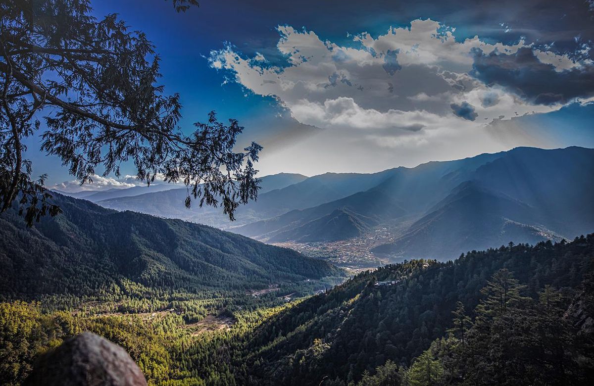
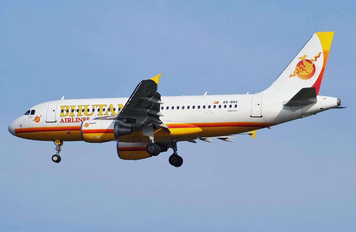
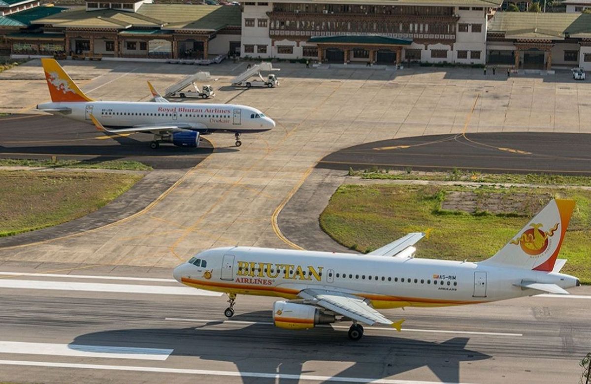
Arrival at about 2,235 metres and a deliberately quiet afternoon. Your guide will check your kit this evening.
The trek starts in two days. Everything between now and then is acclimatisation.
All ten journeysCultural, trekking, festival, wildlife
Eleven days, seven of them walking, to the base of a 7,326-metre mountain that has been closed to climbers for a generation — and back over the Nyile La and Yeli La.
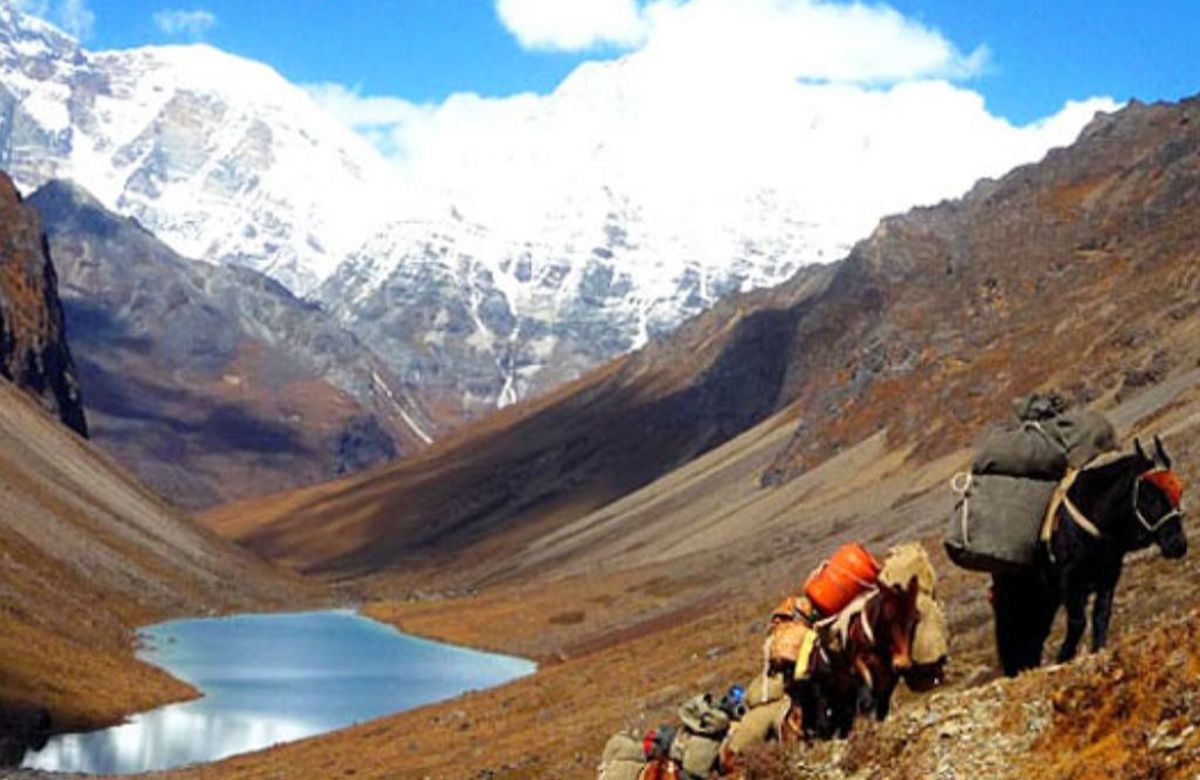
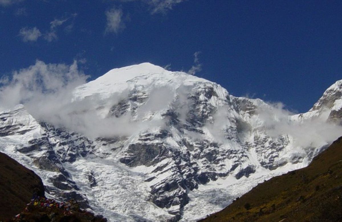
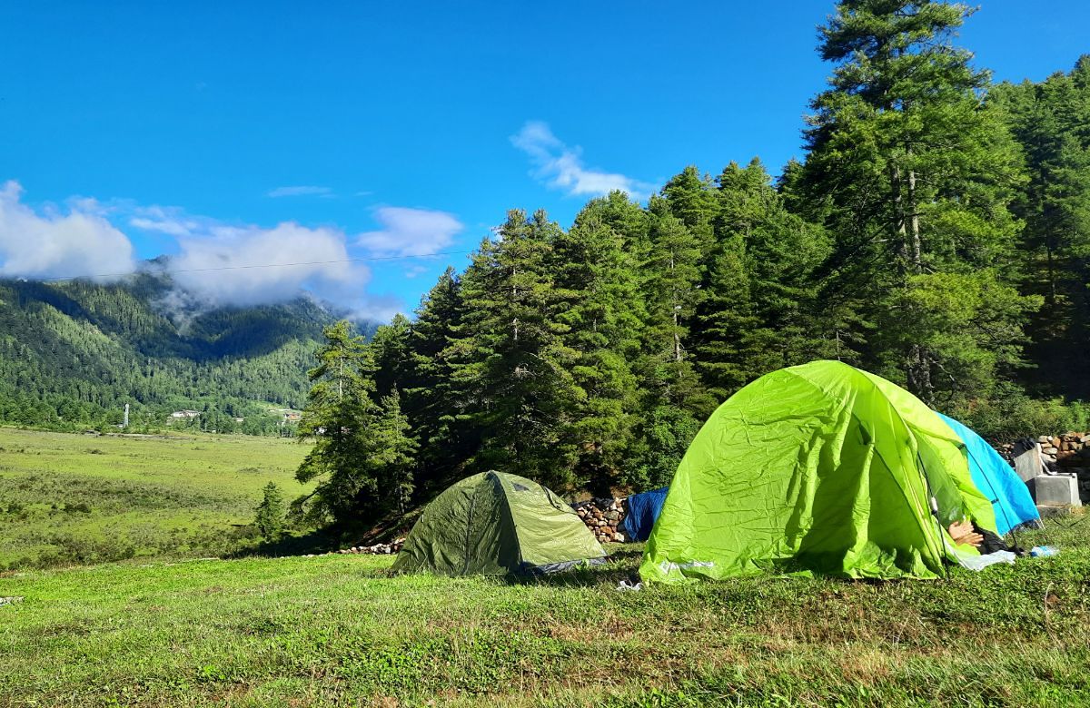
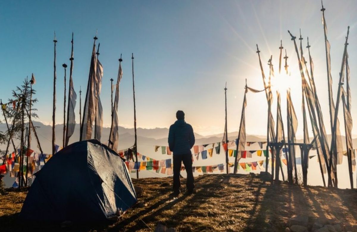
Jangothang is the finest campsite in Bhutan and one of the finest in the Himalaya: a meadow at 4,080 metres with the north face of Jomolhari filling the sky at the head of the valley. Getting there takes three days on foot; the return crosses two passes near 4,900 metres.
The itinerary below is what we would run as written. Every day of it is adjustable — add a night, drop a drive, change a valley. Read when to travel if you are still choosing dates, and entry and fees for what a quotation covers.
Experienced hill walkers with recent multi-day experience at altitude. Seven consecutive walking days, four nights above 4,000 metres, and two passes near 4,900 metres. This is the most demanding journey we run as a standard itinerary.
Private departure, any date. We reply with a written itinerary and a full quotation.
Overnight stops in order. Read more about each valley on the valleys page.
Driving times are realistic for Bhutanese mountain roads. Everything here is adjustable.
Arrival at about 2,235 metres and a deliberately quiet afternoon. Your guide will check your kit this evening.
The trek starts in two days. Everything between now and then is acclimatisation.
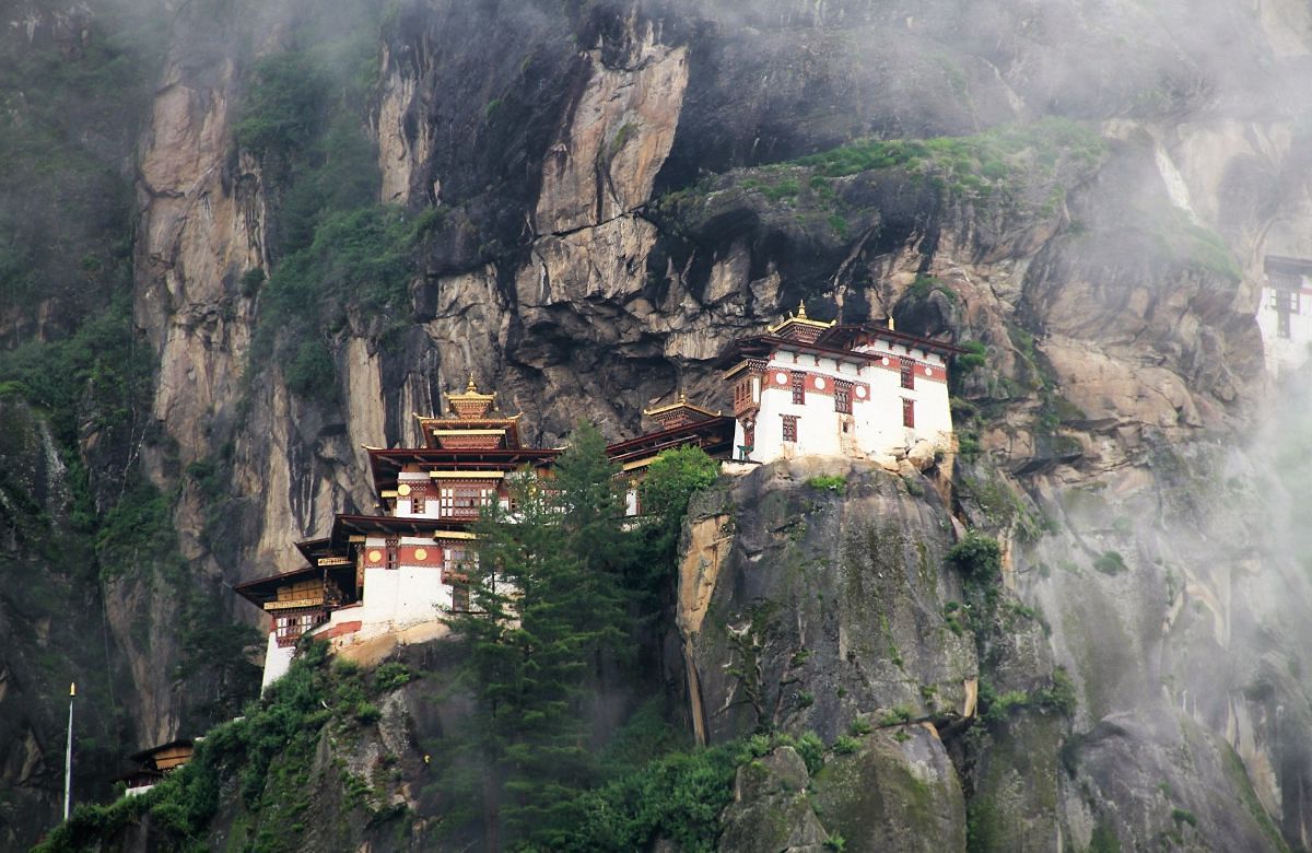
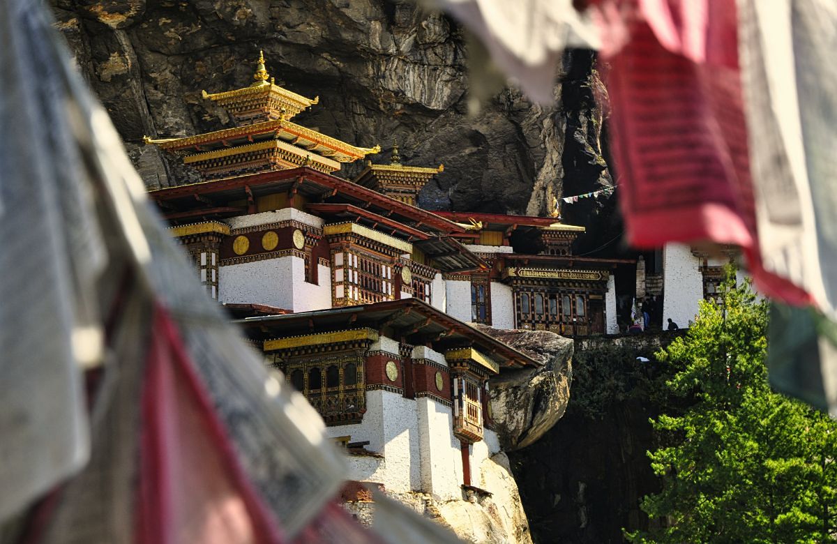
The Taktsang climb, about 900 metres of ascent to roughly 3,120 metres, then back down to sleep at 2,200. Textbook acclimatisation, and the finest building in the country.
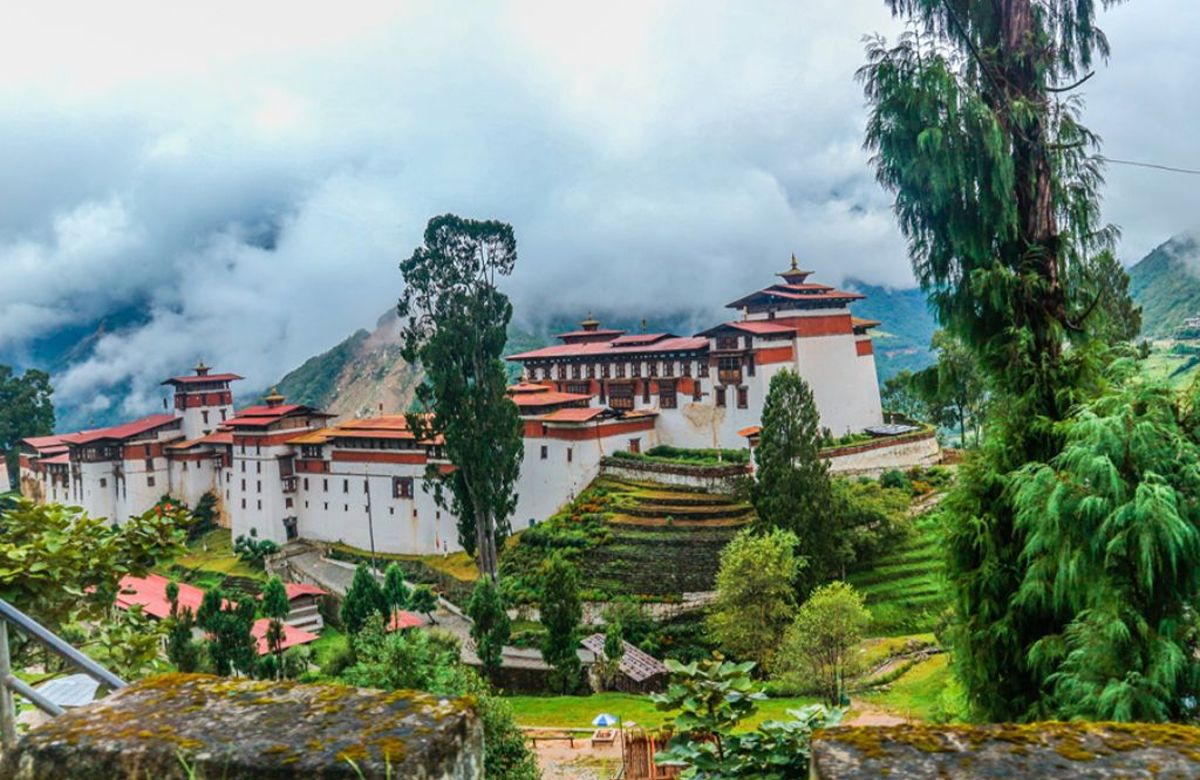
In the afternoon, Drukgyel Dzong at the head of the valley — built in 1649, burned in 1951 — which is where the trek road begins tomorrow.
A drive past Drukgyel to the road head at Sharna Zampa, around 2,870 metres, where the ponies are loaded and the walking starts.
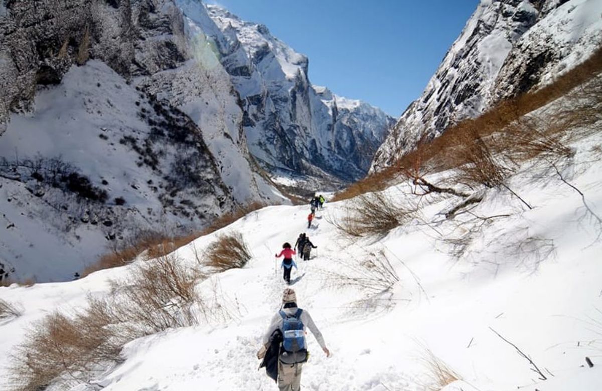
A long first day following the Paro Chhu upstream through blue pine and then oak, crossing and recrossing the river. The valley narrows steadily. Camp at Thangthangka at about 3,610 metres — and if the cloud lifts in the evening, the first sight of Jomolhari at the head of the valley.
The trees end this morning. The path climbs past an army post and the small settlement of Soe, through yak pasture, with the valley opening as it rises.
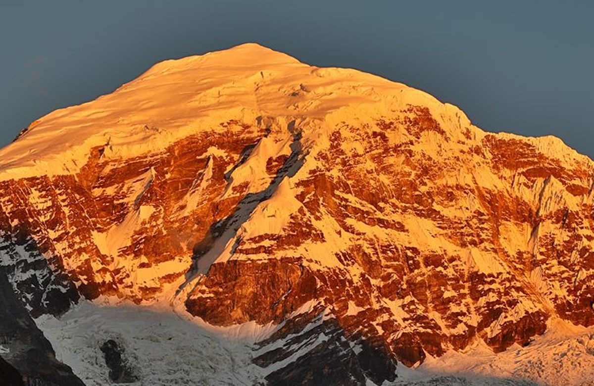
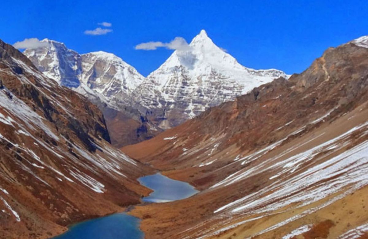
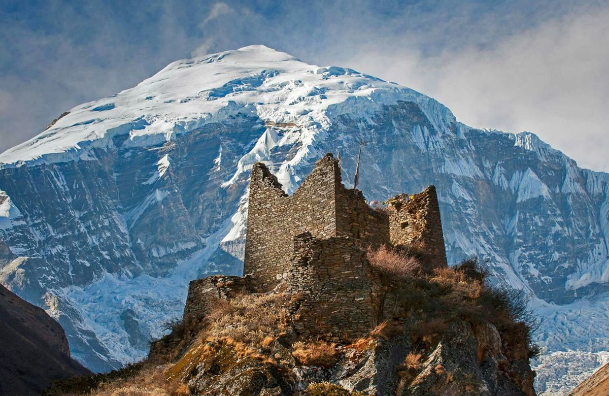
Jangothang, at about 4,080 metres, is the base camp and the reason people walk this route: a broad meadow beneath a ruined fortress, with the north face of Jomolhari — 7,326 metres — closing the head of the valley. In good weather the evening light on it goes on for an hour.
A full day at 4,080 metres, which is not a day off — it is the acclimatisation that makes the passes possible. There are three good options: up towards the Jomolhari base for the closest view of the face, up the side valley towards Tsophu lakes, or a shorter walk to the ridge behind camp.
Blue sheep are often on the slopes above the lakes, and lammergeier and Himalayan griffon work the thermals most afternoons. Nothing is guaranteed; the mountain is reliable, the wildlife is not.
The first pass, and the hardest day so far. A long climb to the Nyile La at about 4,870 metres, with Jomolhari and Jichu Drake behind you and — on a clear day — a view north into the ranges along the Tibetan border.
The descent runs along a high traverse to Lingshi at about 4,010 metres, where a small dzong stands on a bluff above the settlement. Lingshi is one of the remotest inhabited places in Bhutan; supplies come in on horseback.
The highest point of the trek. A steady climb to the Yeli La at about 4,890 metres, from which — in clear weather — Jomolhari, Tserim Kang and Masang Gang are all visible at once.
Then a long descent following the Thimphu Chhu's headwaters. This is a big day and the ground underfoot is rough.
The descent continues along the river, and the treeline reappears — juniper and rhododendron first, then birch. After four days above the trees this feels like a considerable event.
Camp at Shodu, about 4,100 metres, on a meadow beside the river where there is a small chorten and, usually, nobody else.
A day of limestone gorges and waterfalls, following the Thimphu Chhu down through increasingly dense forest, with a short climb at the end to the ruins of Barshong Dzong at about 3,710 metres.
The air is noticeably thicker and warmer tonight than it has been all week.
A final morning through bamboo and rhododendron forest, descending steadily to the road head at Dolam Kencho, where the vehicle is waiting.
An hour or so into Thimphu, a hot shower, and dinner somewhere with a roof. Most people find the transition abrupt in a good way.
The drive down to Paro and your flight home.
Altitude range on this journey is 2,235–4,890 m. Sleeping heights matter more than the passes you drive over — see travel questions on altitude.
One figure covers everything on the left, the Sustainable Development Fee and the visa fee included. There are no compulsory extras added later.
More general questions are answered on travel questions.
We do not publish prices, because a private trip priced honestly depends on your dates, your group and the hotels you want. Tell us those three things and you will have a real figure.
No call centre and no automated quote. A person in our Thimphu office reads what you have written and replies with a plan built around it.
Private departure on any date you choose. We reply with a written itinerary and a full quotation.
Cultural
8 days · 7 nightsParo, Thimphu and Punakha at a pace that leaves room for the Taktsang climb, an afternoon in the Punakha rice terraces and a drive over Chele La.
Cultural
11 days · 10 nightsEast from Punakha over the Pele La to Trongsa, then into the four valleys of Bumthang — the oldest temples in the country and the quietest roads.
Cultural
14 days · 13 nightsThe full length of the country, west to east, over Bhutan's highest road pass into the weaving districts most itineraries never reach.