Sky Dragon Expeditions

Cultural journey · Western Bhutan

Western Valleys Discovery

Eight days across Paro, Thimphu and Punakha — the three valleys that hold most of Bhutan’s great dzongs, with enough time built in to climb to Taktsang without rushing it.

Duration8 days, 7 nightsParo to Paro
RouteParo · Thimphu · PunakhaThree valleys, no backtracking day
WalkingEasy to moderateOne long day: Taktsang, 4–5 hours
Altitude1,250 – 3,988 mHighest point: Chele La
GroupPrivate departureFrom two travellers, any date
Overview

About this journey

This is the route most people should travel the first time they come to Bhutan, and the one we run more often than any other. It covers the three western valleys without a single wasted driving day.

The itinerary below is what we would run as written. Every day of it is adjustable — add a night, drop a drive, change a valley. Read when to travel if you are still choosing dates, and entry and fees for what a quotation covers.

Who this suits

First-time visitors to Bhutan; couples and families; anyone who wants the headline sights without a rushed itinerary. You should be comfortable walking uphill for a couple of hours on the Taktsang day. Travellers who would rather not do that climb can stop at the halfway cafeteria, which has the best view of the monastery anyway.

Enquire about this journey

Private departure, any date. We reply with a written itinerary and a full quotation.

Duration8 days · 7 nights
StyleCultural
RegionParo · Thimphu · Punakha
WalkingEasy to moderate
Altitude1,250–3,988 m
Quotation includesSDF & visa fee
Send Inquiry or call +975 77682156
The route

Where you sleep, and for how long

Paroarrive · 1 nightThimphu2 nightsPunakha2 nightsParo3 nightsParodepart

Overnight stops in order. Read more about each valley on the valleys page.

Day by day

The itinerary

Driving times are realistic for Bhutanese mountain roads. Everything here is adjustable.

Day01
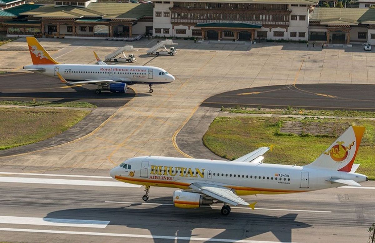
An aircraft on the apron at Paro International Airport

Arrive at Paro and drive to Thimphu

55 km · about 1½ hours Thimphu

The approach into Paro is the part of the journey people remember before they have seen anything else — the aircraft banks between forested ridges and the valley floor appears at around 2,235 metres. We meet you in the arrivals hall and drive down the Paro Chhu, then up the Wang Chhu into Thimphu.

The rest of the day is deliberately unstructured. Most people arrive tired, and Thimphu sits a little higher than Paro, so the afternoon is best spent walking the main street, looking at the weekend market if the timing falls right, and eating early.

Driving: 55 km, about 1½ hours Walking: Level walking only Overnight: Thimphu (2,320 m)
Day02
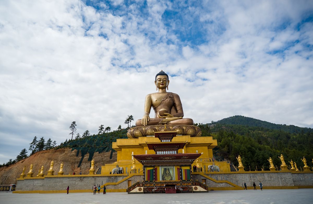
The bronze Buddha Dordenma statue above Thimphu

Thimphu — the capital at close range

Buddha Dordenma Tashichho Dzong Takin preserve

Thimphu is a capital of roughly a hundred thousand people that still closes for archery tournaments. The morning starts above it, at Kuensel Phodrang, where the bronze Buddha Dordenma — just over fifty metres — looks down the length of the valley.

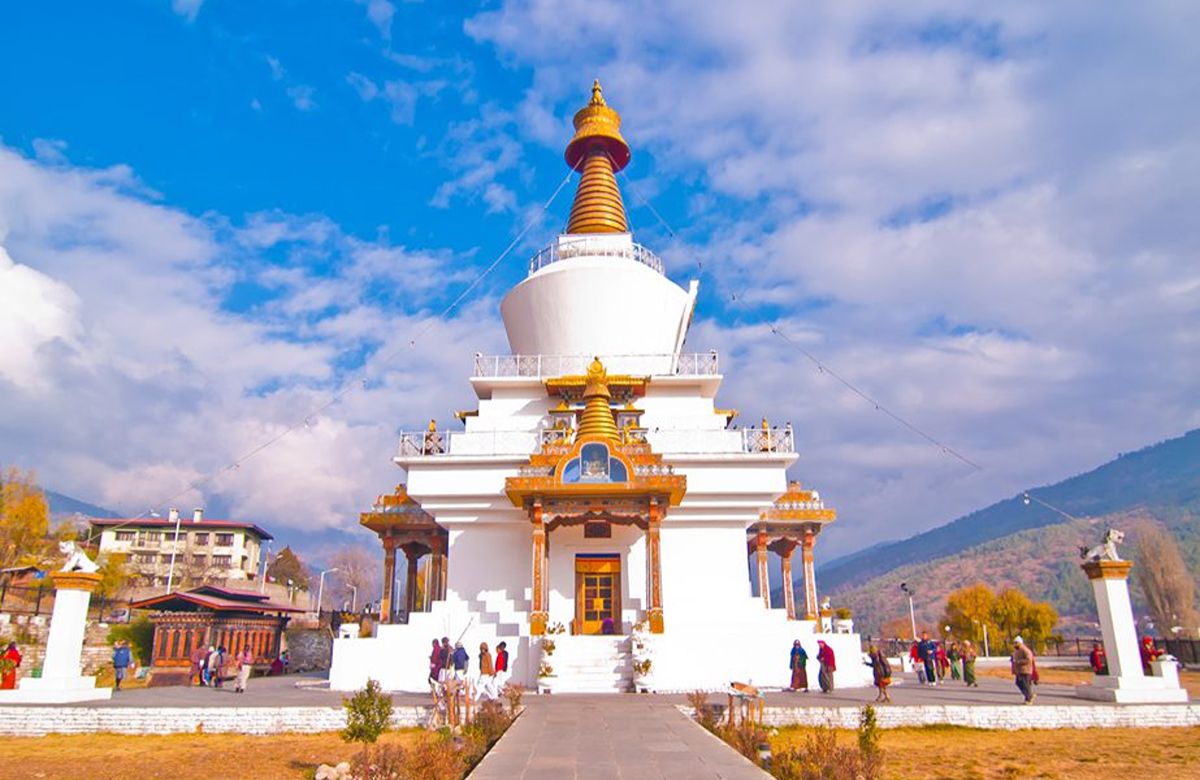
Then the National Memorial Chorten, built in 1974 in memory of the third King, Jigme Dorji Wangchuck; the Motithang preserve, home to the takin; and the Folk Heritage Museum, a restored three-storey farmhouse that explains rural life better than any display case could.

We finish at Tashichho Dzong in the late afternoon, when the government offices close and visitors are admitted. It houses the throne room and the secretariat, and the courtyard at that hour is worth planning the day around.

Driving: In and around Thimphu Walking: 2–3 km across the day, level Overnight: Thimphu (2,320 m)
Day03
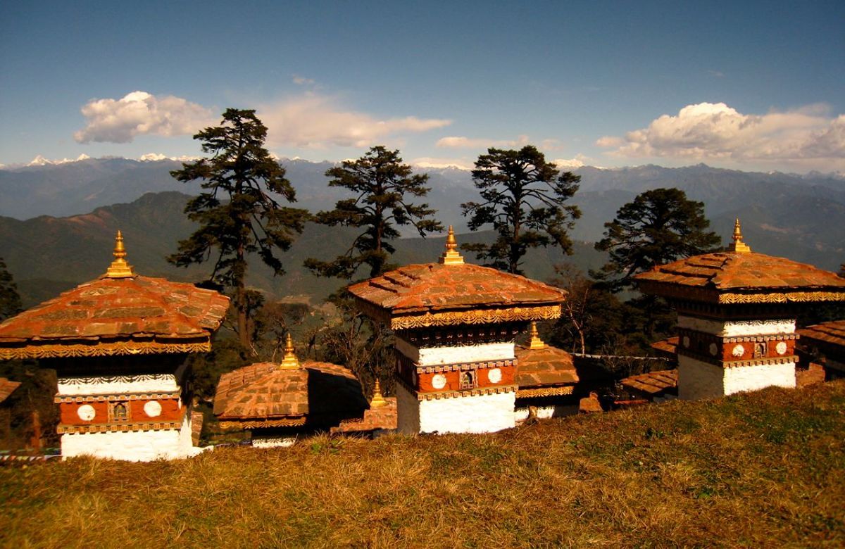
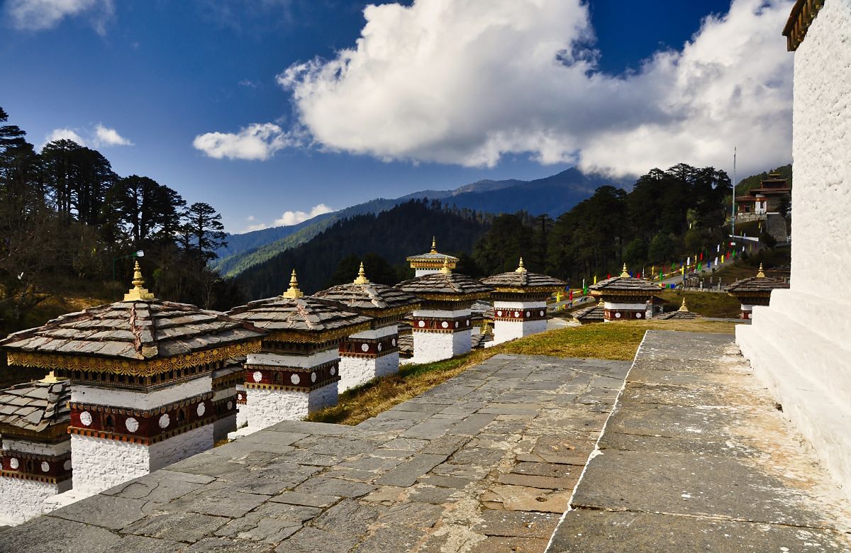
The Druk Wangyal chortens at Dochu La with the eastern Himalaya behind

Over Dochu La to Punakha

Dochu La · 3,100 m Chimi Lhakhang 72 km · 3 hours

The road east climbs steadily out of Thimphu to Dochu La at about 3,100 metres, where 108 chortens stand in three tiers on a knoll in the middle of the pass. On a clear morning the eastern Himalaya is laid out along the northern horizon, including Gangkhar Puensum at 7,570 metres, widely described as the highest unclimbed mountain on earth.

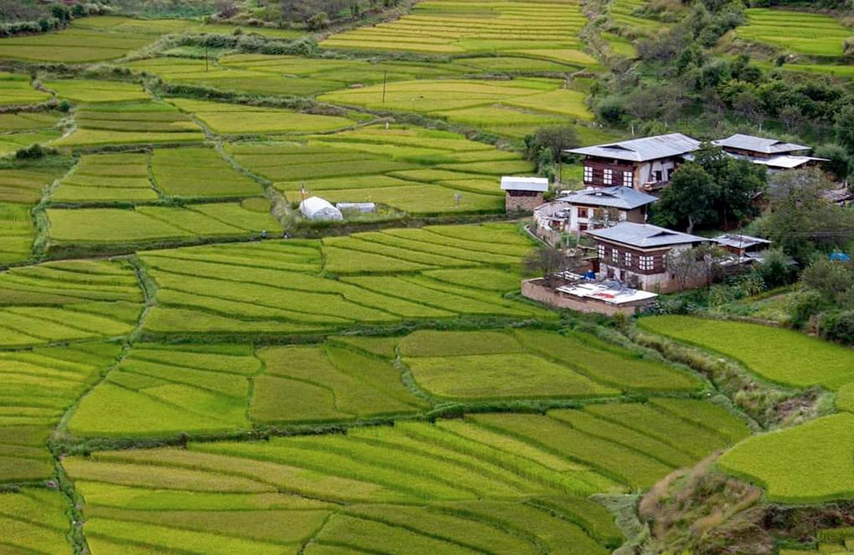
From the pass the road drops nearly two kilometres of altitude into the Punakha valley, and the vegetation changes with it. We stop at Sopsokha and walk about twenty-five minutes through the rice terraces to Chimi Lhakhang, built in 1499 and associated with Drukpa Kunley, whose irreverence is still painted on half the houses in the valley.

Note. Dochu La views depend entirely on the weather. Between June and September the pass is often in cloud.
Driving: 72 km, about 3 hours Walking: About 50 minutes, flat, on a farm track Overnight: Punakha (1,250 m)
Day04
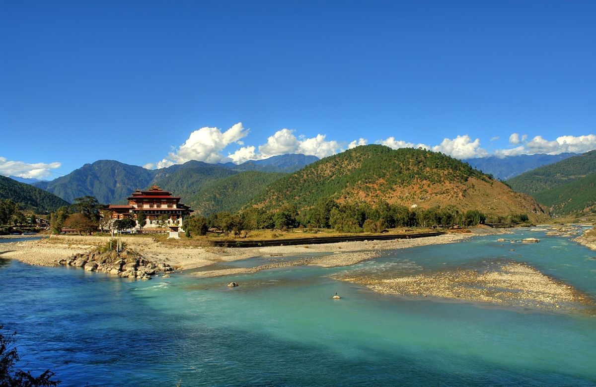
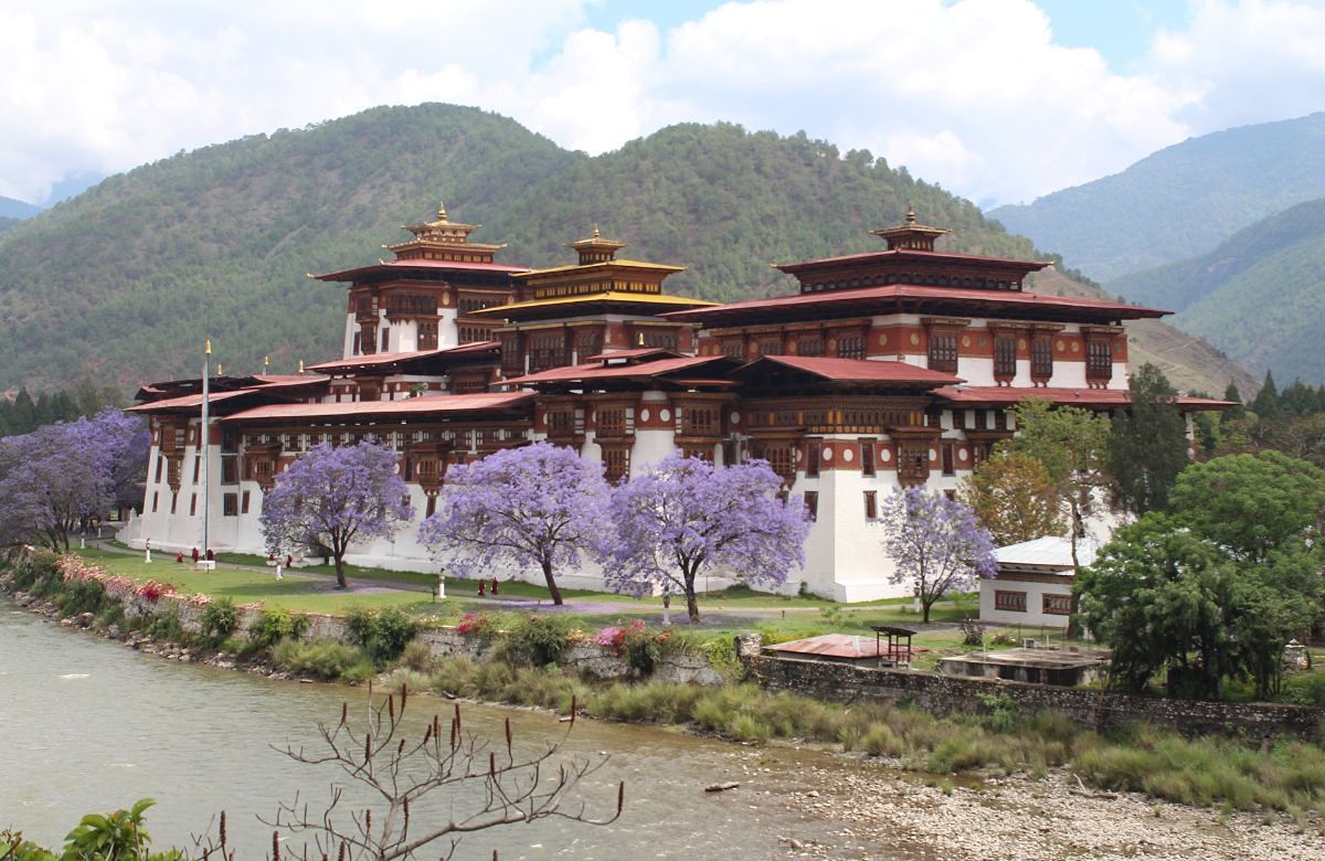
Punakha Dzong at the confluence of the Pho Chhu and Mo Chhu rivers

Punakha Dzong and the Mo Chhu

Punakha Dzong Suspension bridge Khamsum Yulley walk

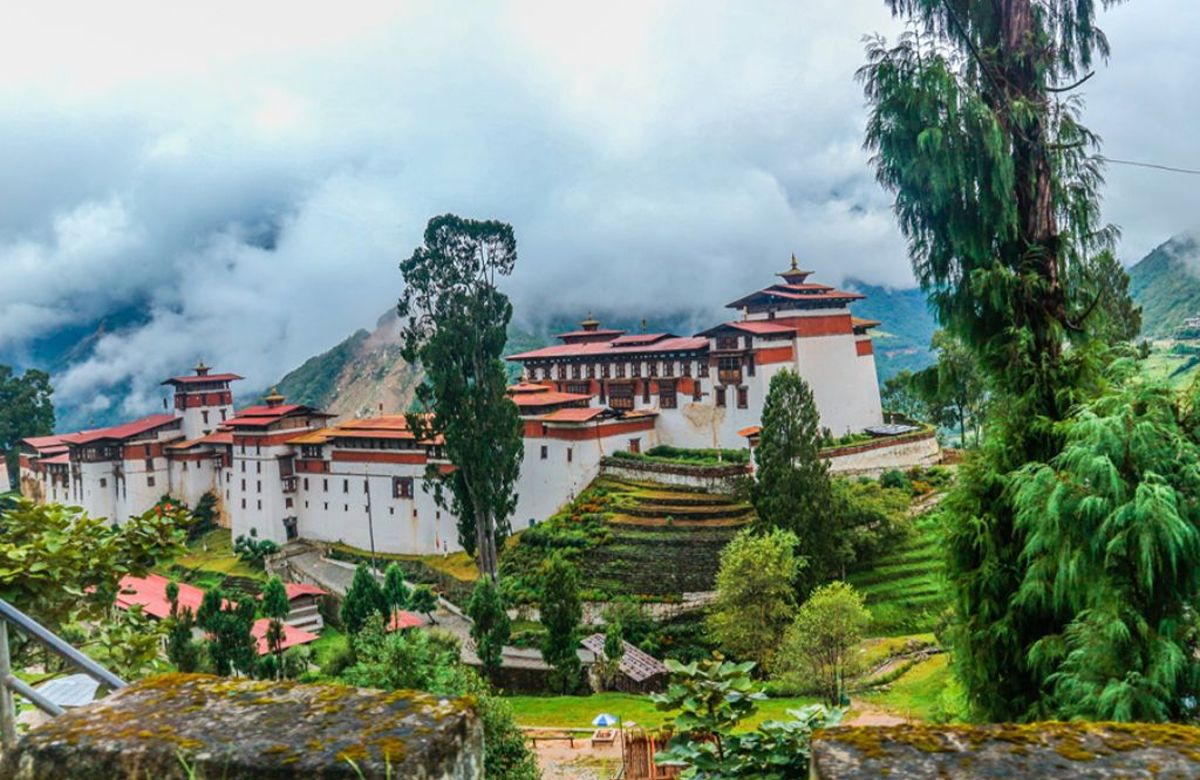
Punakha Dzong stands on the spit of land where the Pho Chhu and Mo Chhu meet, and it is the building most people leave Bhutan thinking about. Built in 1637–38 by Zhabdrung Ngawang Namgyal, it is the second oldest dzong in the country and remains the winter residence of the Je Khenpo and the central monastic body.

In the afternoon we drive up the Mo Chhu valley and walk about forty-five minutes uphill through rice terraces to Khamsum Yulley Namgyal Chorten, completed in 2004. The climb is gradual, the interior murals are unusually fine, and the view back down the valley from the top storey is the best in Punakha.

Driving: Short local drives Walking: About 1½ hours in total, one gradual climb Overnight: Punakha (1,250 m)
Day05
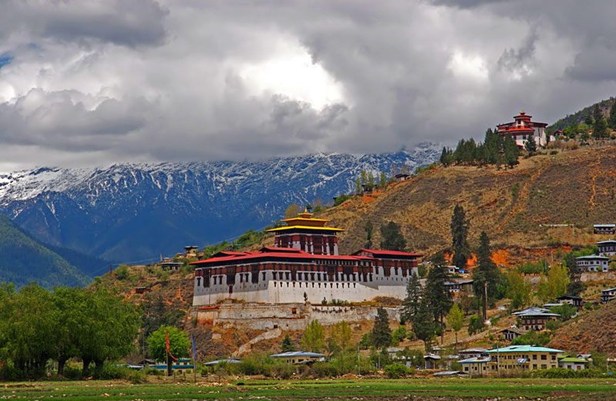
Rinpung Dzong in the Paro valley with snow peaks behind

West to Paro, and the dzong above the river

125 km · 4½ hours Rinpung Dzong National Museum

The long drive of the trip, back over Dochu La and through Thimphu to Paro. We break it at the pass and again for lunch, and arrive in Paro with the afternoon intact.

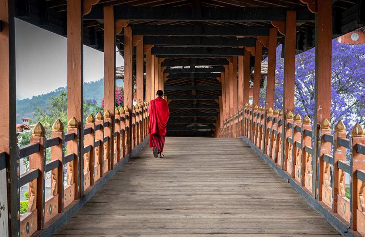
Rinpung Dzong — 'the fortress on a heap of jewels' — was built in 1644 and sits above the Paro Chhu, reached across a traditional cantilever bridge. Above it, the round watchtower known as Ta Dzong houses the National Museum, the clearest introduction to Bhutanese textiles, thangka painting and natural history in the country.

Driving: 125 km, about 4½ hours Walking: 1–2 km, some steps at the dzong Overnight: Paro (2,200 m)
Day06
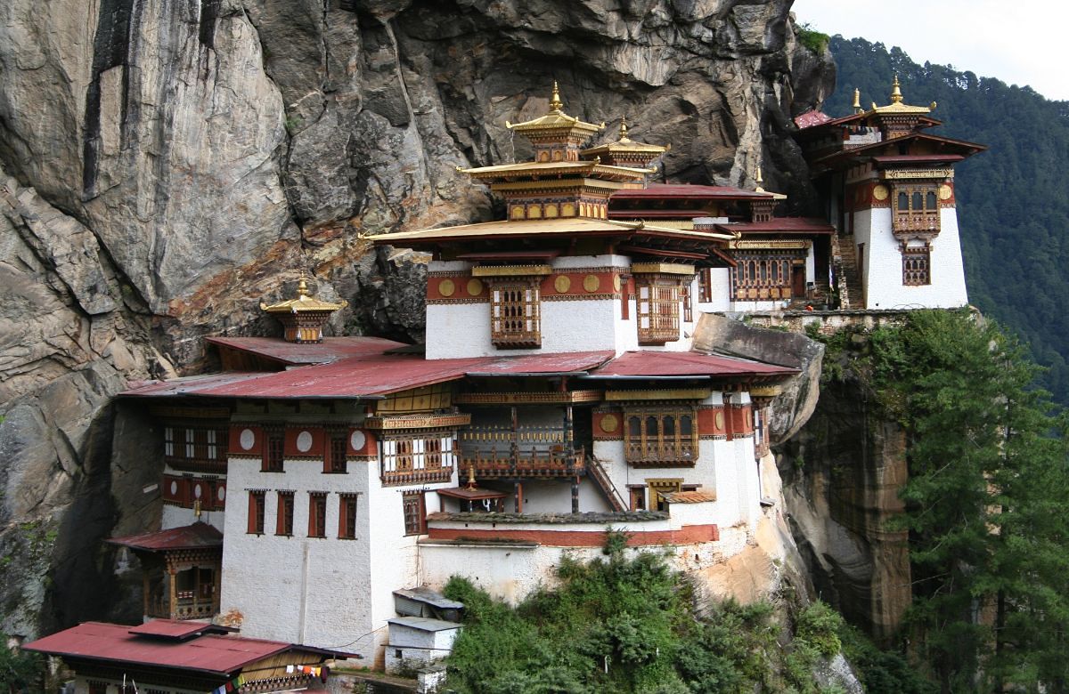
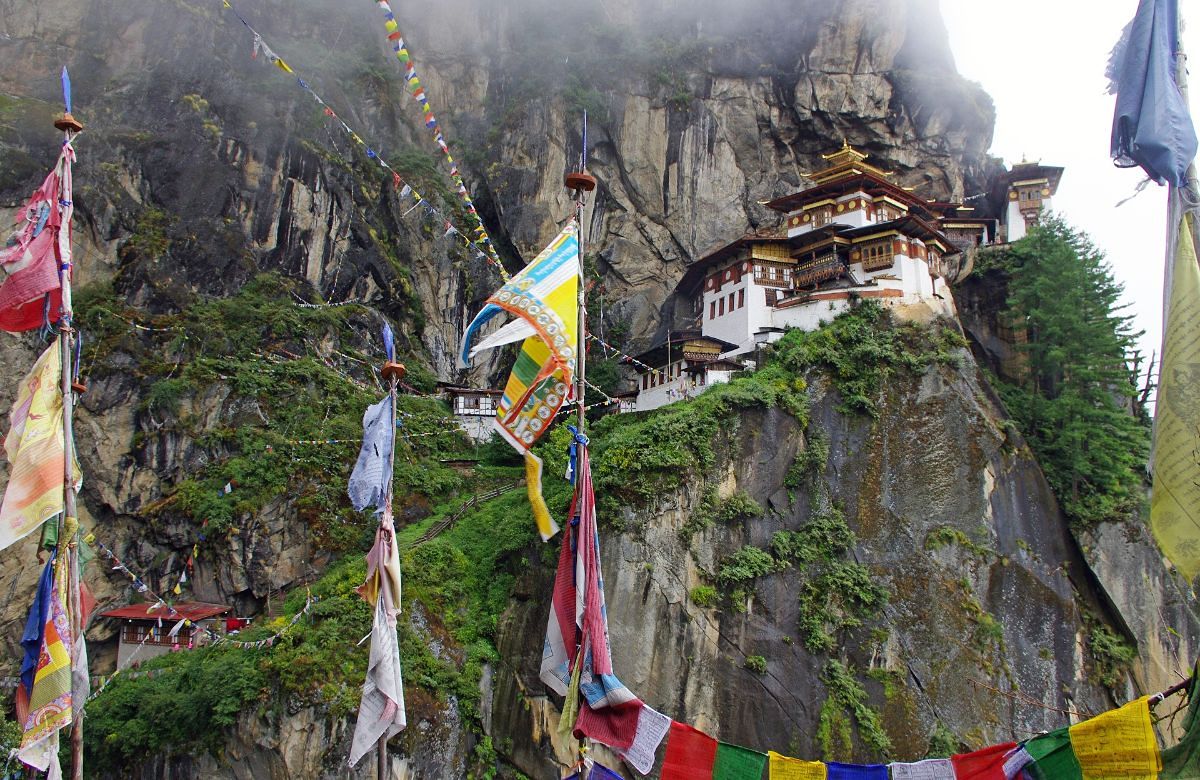
Paro Taktsang clinging to the cliff above the Paro valley

The climb to Paro Taktsang

4–5 hours return About 900 m of ascent Taktsang

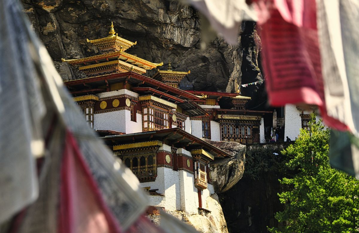
An early start, because the mountain is cooler and quieter before nine. The trail leaves the valley floor at about 2,600 metres and climbs through blue pine to the cafeteria at roughly the halfway point, where almost everyone stops for tea and the first proper view of the monastery across the gorge.

Above the cafeteria the path continues to a viewpoint, then descends a long flight of stone steps to a waterfall before climbing again to the monastery entrance at around 3,120 metres. The complex was built in 1692 around the cave where Guru Padmasambhava is said to have meditated in the eighth century. It was badly damaged by fire in 1998 and rebuilt.

In the afternoon, Kyichu Lhakhang — one of the oldest temples in Bhutan, its original hall attributed to the seventh century — which is a quiet place to end a long day.

Note. Cameras and bags are left at the entrance to the monastery. Photography is not permitted inside.
Driving: Short transfer to the trailhead Walking: 4–5 hours return, sustained climb, stone steps Overnight: Paro (2,200 m)
Day07
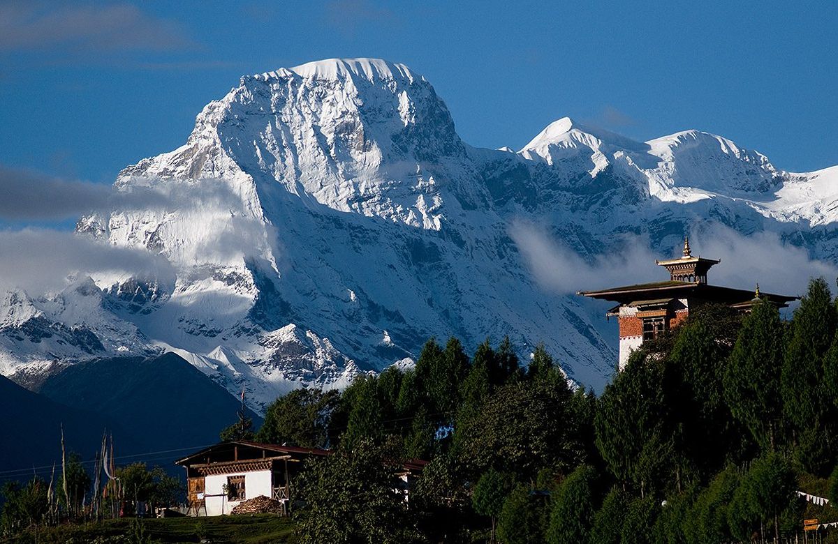
Snow peaks above a temple roof in the western Himalaya

Chele La, Drukgyel and a farmhouse afternoon

Chele La · 3,988 m Drukgyel Dzong Hot-stone bath

We drive up through hemlock and rhododendron to Chele La at 3,988 metres, one of the highest motorable passes in Bhutan and the divide between the Paro and Haa valleys. The pass is a forest of prayer flags, and in clear weather Jomolhari stands to the north.

On the way back, Drukgyel Dzong at the head of the valley — built in 1649 to mark a victory, destroyed by fire in 1951, and the subject of a long restoration.

The last afternoon is spent at a farmhouse: lunch cooked on a wood stove, and, if you want it, a traditional hot-stone bath, in which river stones are heated in a fire and dropped into a wooden tub of water and artemisia. It is a long-standing Bhutanese custom and a good way to end a week of walking. We make no medical claims for it.

Note. Chele La is occasionally closed by snow between December and February. If it is, we substitute a day in the upper Paro valley.
Driving: About 3 hours of driving in total Walking: Short walks at the pass Overnight: Paro (2,200 m)
Day08
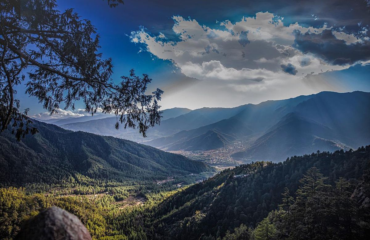
Forested ridges and mountains above a Bhutanese valley

Departure from Paro

Transfer to the airport Morning departure

Most departures from Paro leave early, so breakfast tends to be quick. The airport is fifteen minutes from most Paro hotels and we see you through check-in.

If your flight is later in the day, there is time for the Sunday market or a last walk along the river — tell us and we will build it in.

Driving: 15 minutes to the airport
Altitude

What the route does to your elevation

Altitude range on this journey is 1,250–3,988 m. Sleeping heights matter more than the passes you drive over — see travel questions on altitude.

1,000 m2,000 m3,000 m4,000 m Paro2,235 mThimphu2,320 mDochu La3,100 mPunakha1,250 mDochu La3,100 mParo2,200 mTaktsang3,120 mChele La3,988 mParo2,200 mDAY 1DAY 2DAY 3DAY 4DAY 5DAY 6DAY 7DAY 8
The quotation

What is included, and what is not

One figure covers everything on the left, the Sustainable Development Fee and the visa fee included. There are no compulsory extras added later.

Included in the quotation

  • All accommodation in Bhutan on a twin-sharing basis
  • All meals through the itinerary — breakfast, lunch and dinner
  • A licensed English-speaking Bhutanese guide throughout
  • Private vehicle and driver for the full itinerary
  • The Sustainable Development Fee for every night of the trip
  • Bhutan visa processing and the US$40 government visa fee
  • All monument, museum and dzong entry fees on the itinerary
  • Bottled water in the vehicle each day
  • A local SIM card on arrival

Not included

  • International flights to and from Paro
  • Travel insurance — strongly recommended, and your own arrangement
  • Single-room supplement, if you would prefer not to share
  • Drinks other than those served with meals
  • Laundry, telephone calls and other personal spending
  • Tips for your guide and driver, which are at your discretion
  • Ponies on the Taktsang trail, arranged locally on the day
  • The farmhouse hot-stone bath, which is booked in advance on request

Important notes

  • Driving times are realistic estimates for Bhutanese mountain roads and assume normal conditions. Roadworks and weather can add to them, particularly during the monsoon.
  • Specific hotels are subject to availability and are confirmed at the time of booking.
  • Mountain views cannot be guaranteed. They depend entirely on the weather on the day.
  • The Sustainable Development Fee is set by the Royal Government of Bhutan and is included in every quotation we send.
  • Travel insurance is not required for a Bhutan visa, but we strongly recommend it for any trip that includes a full day of hill walking.
  • The farmhouse visit and the hot-stone bath are subject to availability and are confirmed at the time of booking.
Questions

Before you enquire

How fit do I need to be for the Taktsang climb?
Fit enough to walk uphill for two to two and a half hours with breaks. The trail is wide and well made, but it climbs roughly 900 metres and finishes with a long flight of stone steps. People in their seventies do it every week; people who never walk much find it hard. There is no shame in stopping at the cafeteria, which has the classic view across the gorge, and your guide will pace the day around you.
Will I feel the altitude?
This itinerary sleeps no higher than 2,320 metres, which is below the level at which altitude sickness usually becomes a concern. You will notice the two high points — Dochu La at about 3,100 metres and Chele La at 3,988 metres — as shortness of breath on the short walks, but you are only at that height for an hour or two.
Do I have to book through a tour operator to get a visa?
No. Travellers may apply directly through Bhutan's official online system, or have a tour operator or hotel apply on their behalf. The visa fee is US$40 per person, one-off and non-refundable. If you book this journey with us we handle the application as part of the arrangements.
What are the hotels like?
We book comfortable, well-run hotels chosen for location and service rather than for a star rating. If you would prefer a particular property, or a higher grade of hotel, tell us in your enquiry and we will quote it. Specific hotels are confirmed at the time of booking and are subject to availability.
Can the itinerary be changed?
Yes. Every departure is private, so the route, the pace and the number of nights in each place are all adjustable. Tell us roughly what you want and we will send a revised plan with the quotation.

More general questions are answered on travel questions.

Western Valleys Discovery

Send Inquiry & Get a Quotation

We do not publish prices, because a private trip priced honestly depends on your dates, your group and the hotels you want. Tell us those three things and you will have a real figure.

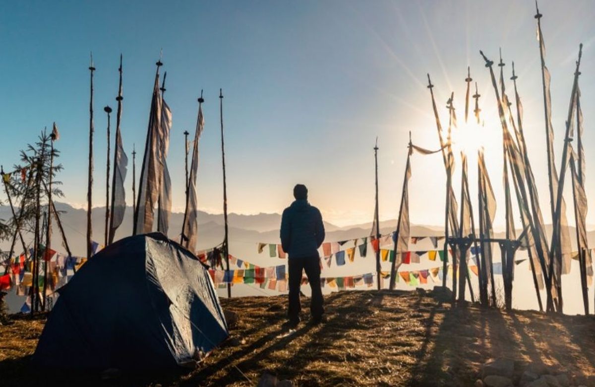
A guide standing among tall prayer-flag poles on a Bhutanese ridge
Talk to us

We answer every enquiry ourselves

No call centre and no automated quote. A person in our Thimphu office reads what you have written and replies with a plan built around it.

Enquiry

Enquire about Western Valleys Discovery

Private departure on any date you choose. We reply with a written itinerary and a full quotation.

Selected Value: 0
Duration
Accommodation