Sky Dragon Expeditions

Cultural journey · Central Bhutan

Dragon's Heartland

Eleven days from Paro to the Bumthang valleys, crossing two high passes and finishing where Bhutanese Buddhism began. The road east empties out after Wangdue, and stays empty.

Duration11 days, 10 nightsParo to Paro
RouteParo · Punakha · Trongsa · BumthangFour valleys in Bumthang alone
WalkingEasyOptional Taktsang climb on day 10
Altitude1,250 – 3,425 mHighest point: Yotong La
GroupPrivate departureFrom two travellers, any date
Overview

About this journey

Most people see western Bhutan and go home. This journey keeps driving — over the Pele La into the Mangde valley, then over the Yotong La into Bumthang, where the temples are older than the dzongs and the valleys are wide, high and almost empty.

The itinerary below is what we would run as written. Every day of it is adjustable — add a night, drop a drive, change a valley. Read when to travel if you are still choosing dates, and entry and fees for what a quotation covers.

Who this suits

Second-time visitors, and first-timers with eleven days and an appetite for driving. The walking is easy throughout; the demand is road hours, not fitness. If long mountain drives tire you, take the Western Valleys route instead and save Bumthang for later.

Enquire about this journey

Private departure, any date. We reply with a written itinerary and a full quotation.

Duration11 days · 10 nights
StyleCultural
RegionPunakha · Trongsa · Bumthang
WalkingEasy
Altitude1,250–3,425 m
Quotation includesSDF & visa fee
Send Inquiry or call +975 77682156
The route

Where you sleep, and for how long

Paro1 nightThimphu1 nightPunakha2 nightsTrongsa1 nightBumthang3 nightsParo2 nights

Overnight stops in order. Read more about each valley on the valleys page.

Day by day

The itinerary

Driving times are realistic for Bhutanese mountain roads. Everything here is adjustable.

Day01
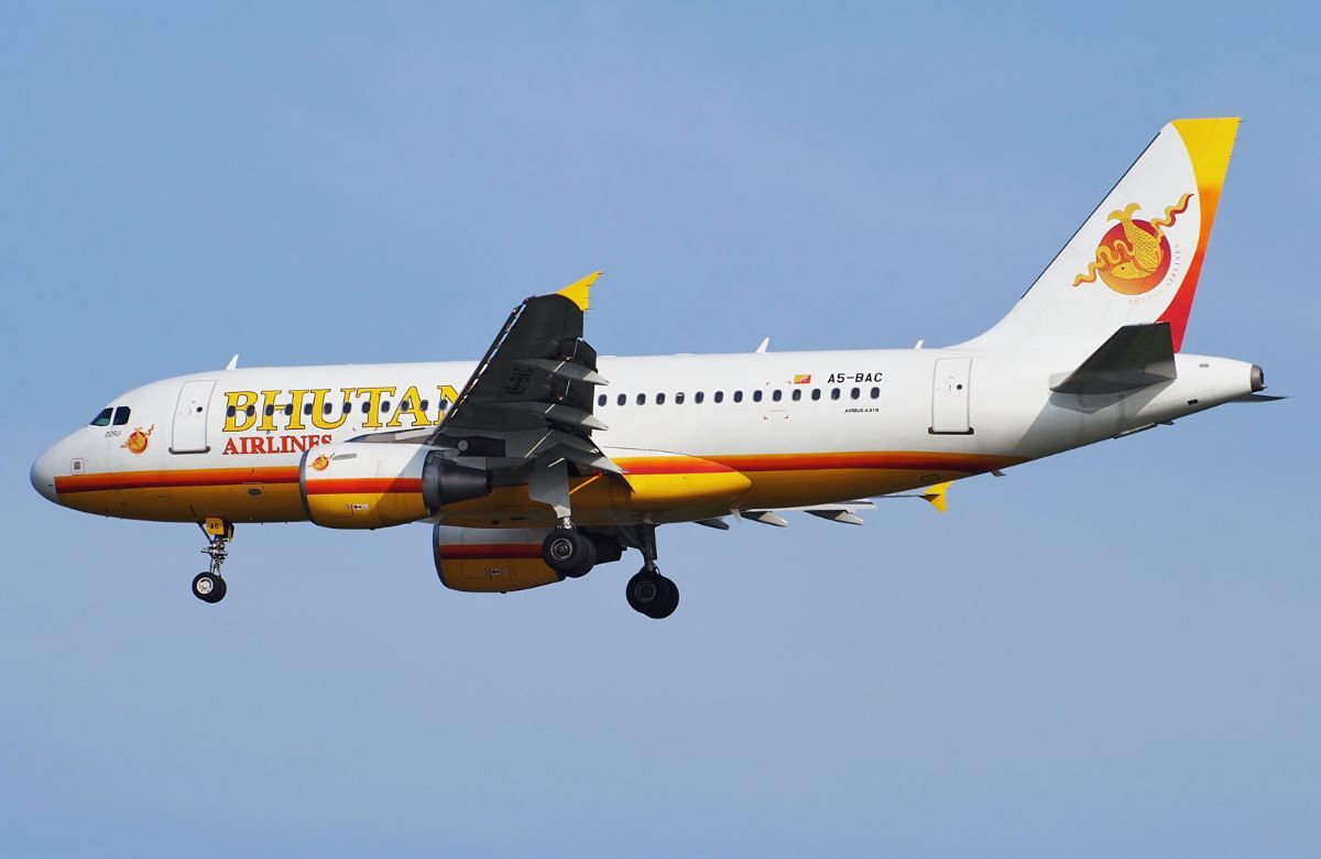
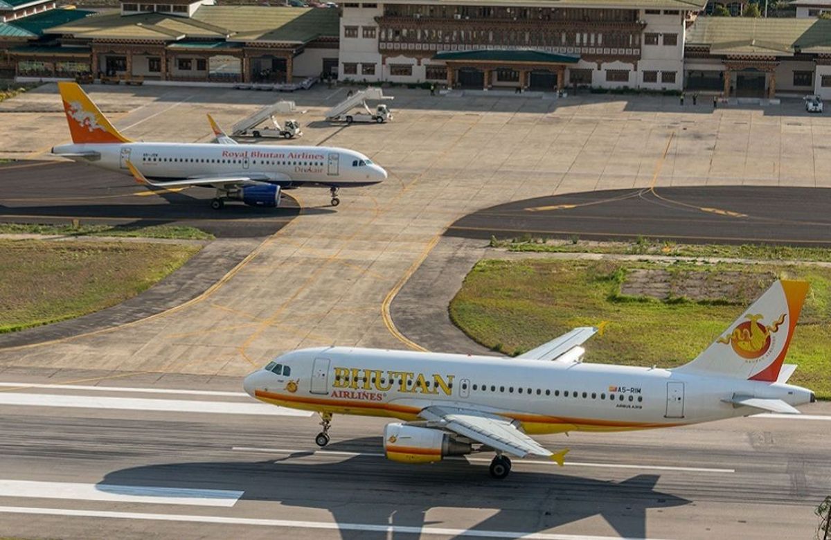
An aircraft on the apron at Paro International Airport

Arrive at Paro

Arrival day Paro

We meet you at Paro and give you the afternoon. The valley floor is at about 2,235 metres and the drive east starts tomorrow, so the useful thing to do today is very little — a walk along the Paro Chhu, and an early night.

If your flight lands early, Kyichu Lhakhang is fifteen minutes away and takes half an hour to visit. It is one of the oldest temples in the country and a gentle introduction.

Driving: 15 minutes from the airport Walking: Optional short walk Overnight: Paro (2,200 m)
Day02
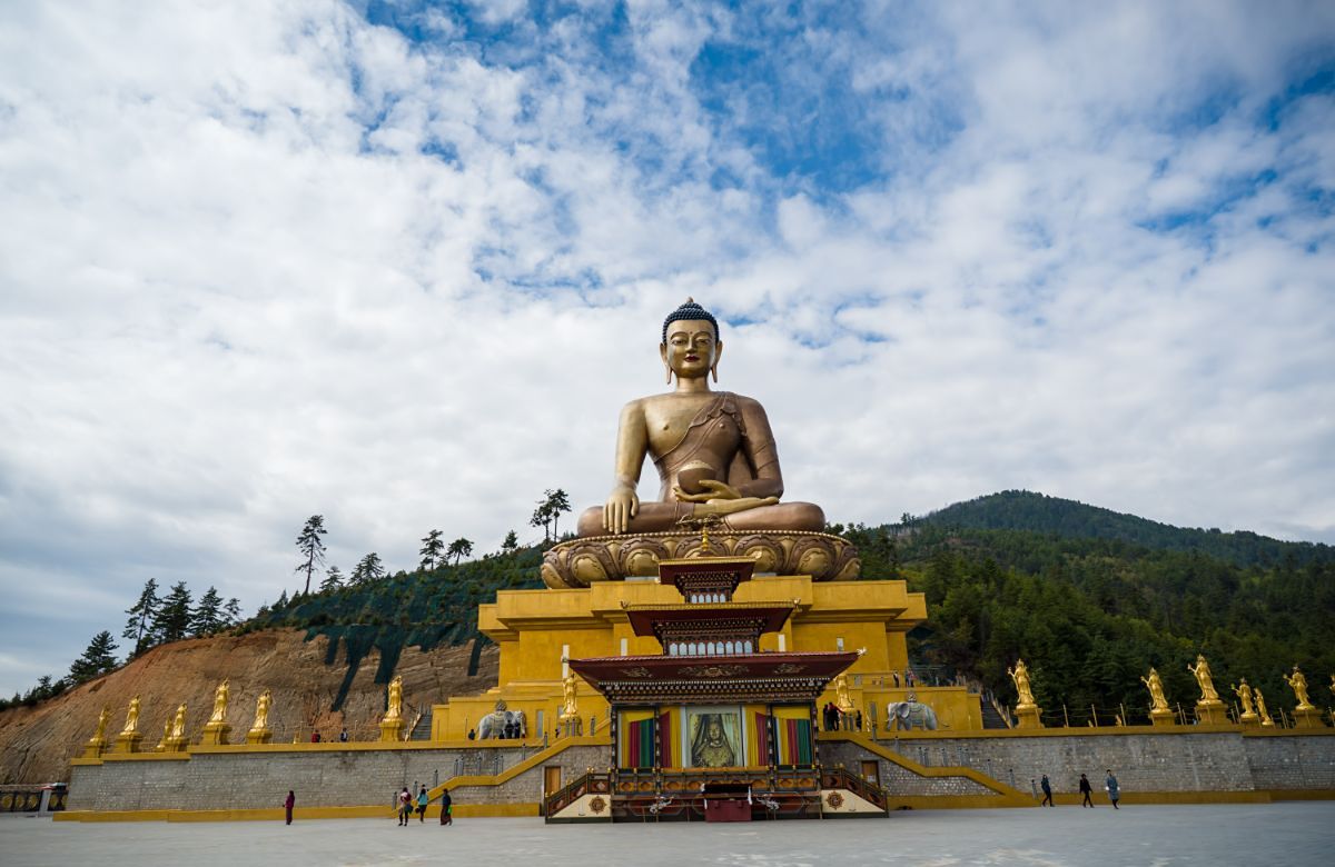
The Buddha Dordenma statue above the Thimphu valley

Paro to Thimphu

55 km · 1½ hours Tashichho Dzong

A short drive to the capital, then the essentials: Buddha Dordenma above the valley at Kuensel Phodrang, the National Memorial Chorten of 1974, and the takin preserve at Motithang.

Tashichho Dzong in the late afternoon, once the offices close. Thimphu is the only stop on this route where you will see anything resembling a crowd, and after tomorrow the roads empty out for a week.

Driving: 55 km, about 1½ hours Walking: 2–3 km, level Overnight: Thimphu (2,320 m)
Day03
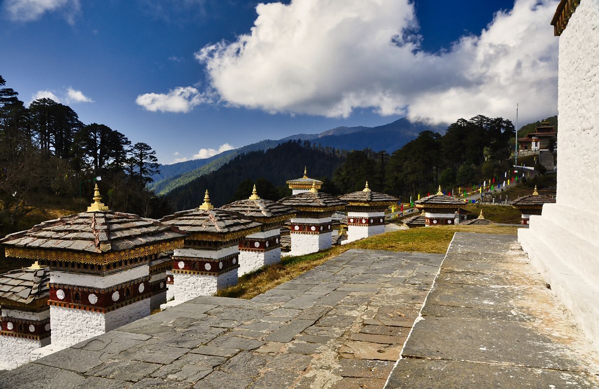
The 108 Druk Wangyal chortens at Dochu La

Over Dochu La to Punakha

Dochu La · 3,100 m Chimi Lhakhang 72 km · 3 hours

Dochu La at about 3,100 metres, with its 108 chortens and — in clear weather — the eastern Himalaya along the northern skyline. Then a long descent into the sub-tropical Punakha valley at around 1,250 metres.

We stop at Sopsokha and walk twenty-five minutes through the rice terraces to Chimi Lhakhang, built in 1499 and associated with the fifteenth-century teacher Drukpa Kunley.

Driving: 72 km, about 3 hours Walking: About 50 minutes on a farm track Overnight: Punakha (1,250 m)
Day04
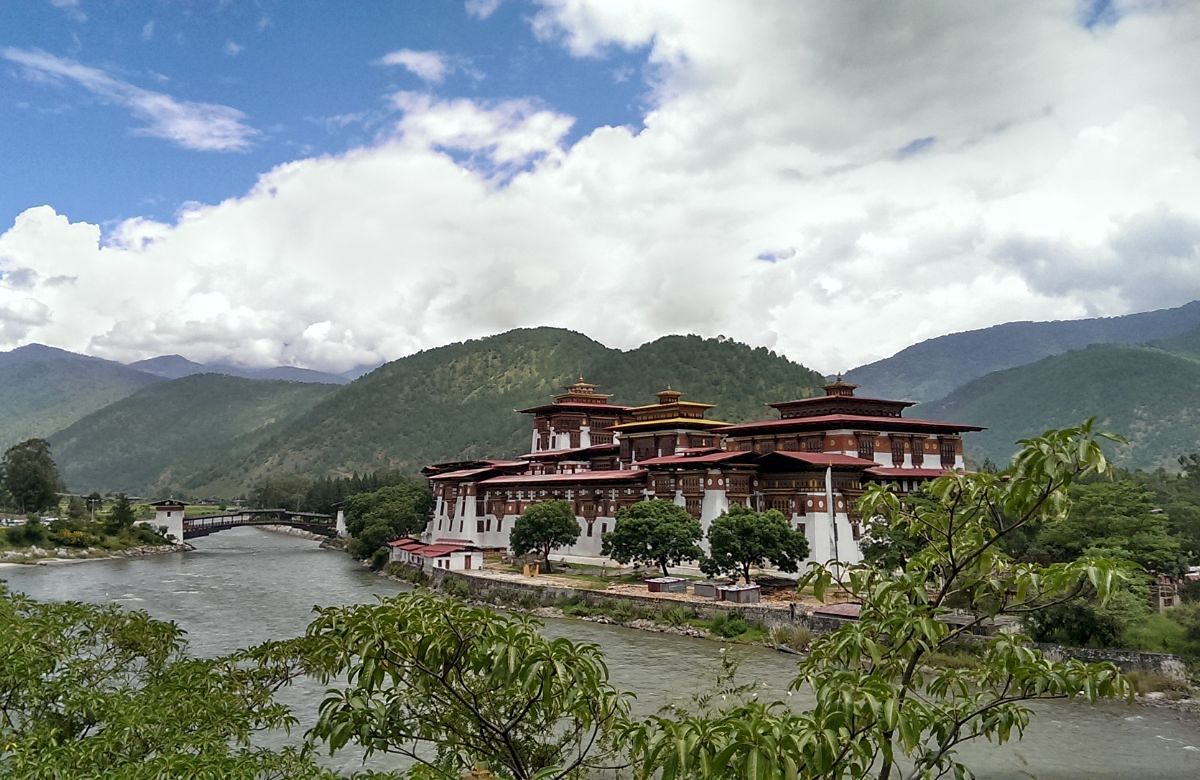
Punakha Dzong beside the Mo Chhu river

Punakha Dzong and Khamsum Yulley

Punakha Dzong Khamsum Yulley walk

Punakha Dzong, built in 1637–38 at the confluence of the Pho Chhu and Mo Chhu, is the second oldest in Bhutan and still the winter seat of the central monastic body. Give it two hours rather than one.

In the afternoon, the forty-five minute walk up through the rice terraces to Khamsum Yulley Namgyal Chorten, completed in 2004, and the view back down the Mo Chhu from its upper storey.

Driving: Short local drives Walking: About 1½ hours in total Overnight: Punakha (1,250 m)
Day05
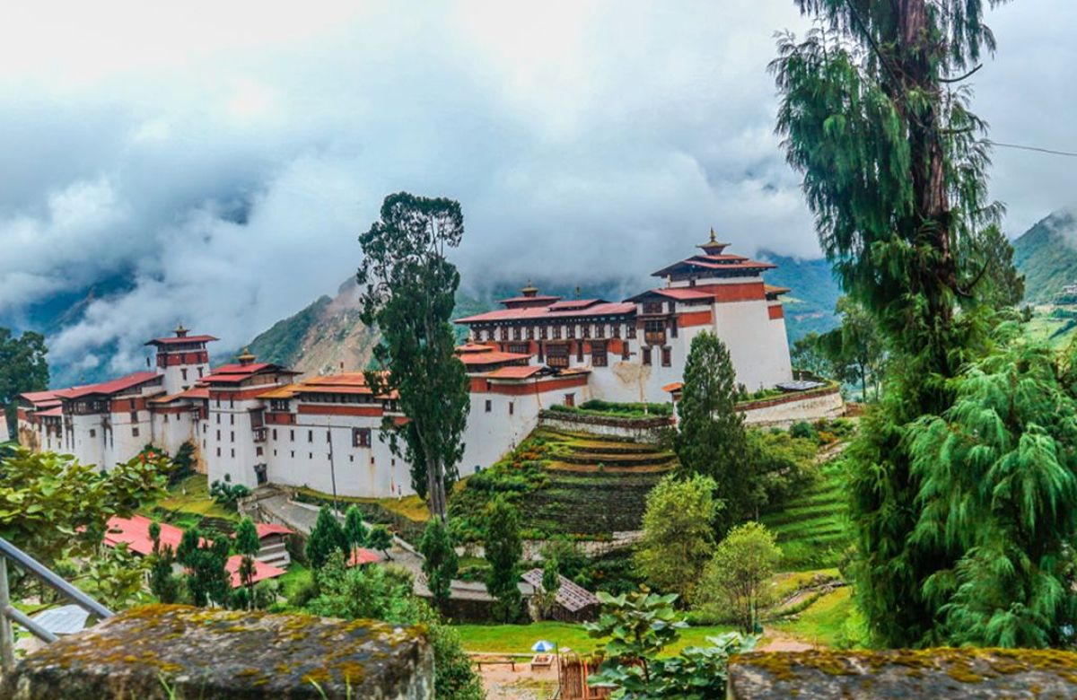
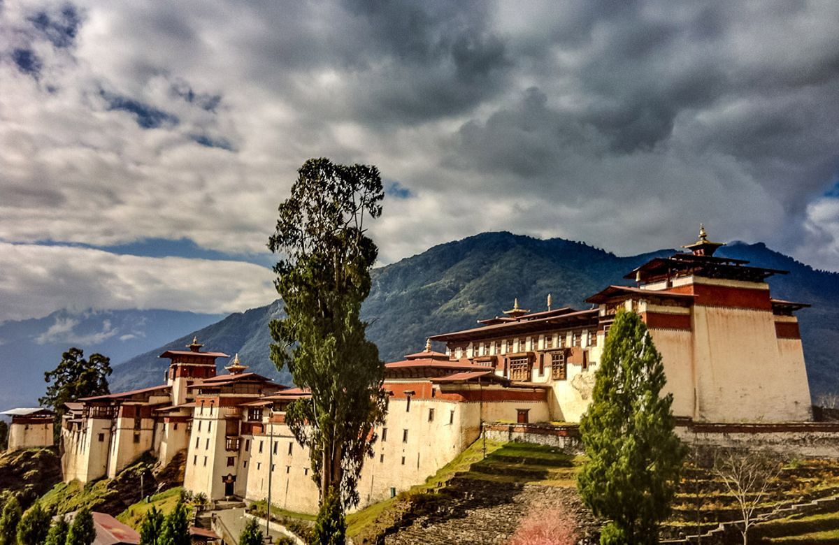
Trongsa Dzong strung along the ridge above the Mangde Chhu

East over the Pele La to Trongsa

130 km · 4½–5 hours Pele La · 3,420 m Trongsa Dzong

The longest drive of the trip and the one that changes the journey. The road climbs out of the Punakha valley past Wangdue Phodrang — whose dzong burned in 2012 and has been rebuilt — then up through dwarf bamboo to the Pele La at about 3,420 metres, the traditional boundary between western and central Bhutan.

Beyond the pass, Chendebji Chorten stands beside the river, built in the Nepalese style in the eighteenth century. Trongsa appears long before you reach it: the dzong is strung along a spur above the Mangde Chhu gorge, and the road spends half an hour working around the valley to get to it.

Trongsa Dzong was built in 1648 and controlled the only east–west route through the country. Both the first and second Kings ruled from here, and the crown prince still holds the title of Trongsa Penlop before accession.

Note. The Pele La can hold snow in January and February. Closures are brief but they happen.
Driving: 130 km, about 4½–5 hours Walking: Short walks; steps at the dzong Overnight: Trongsa (2,200 m)
Day06
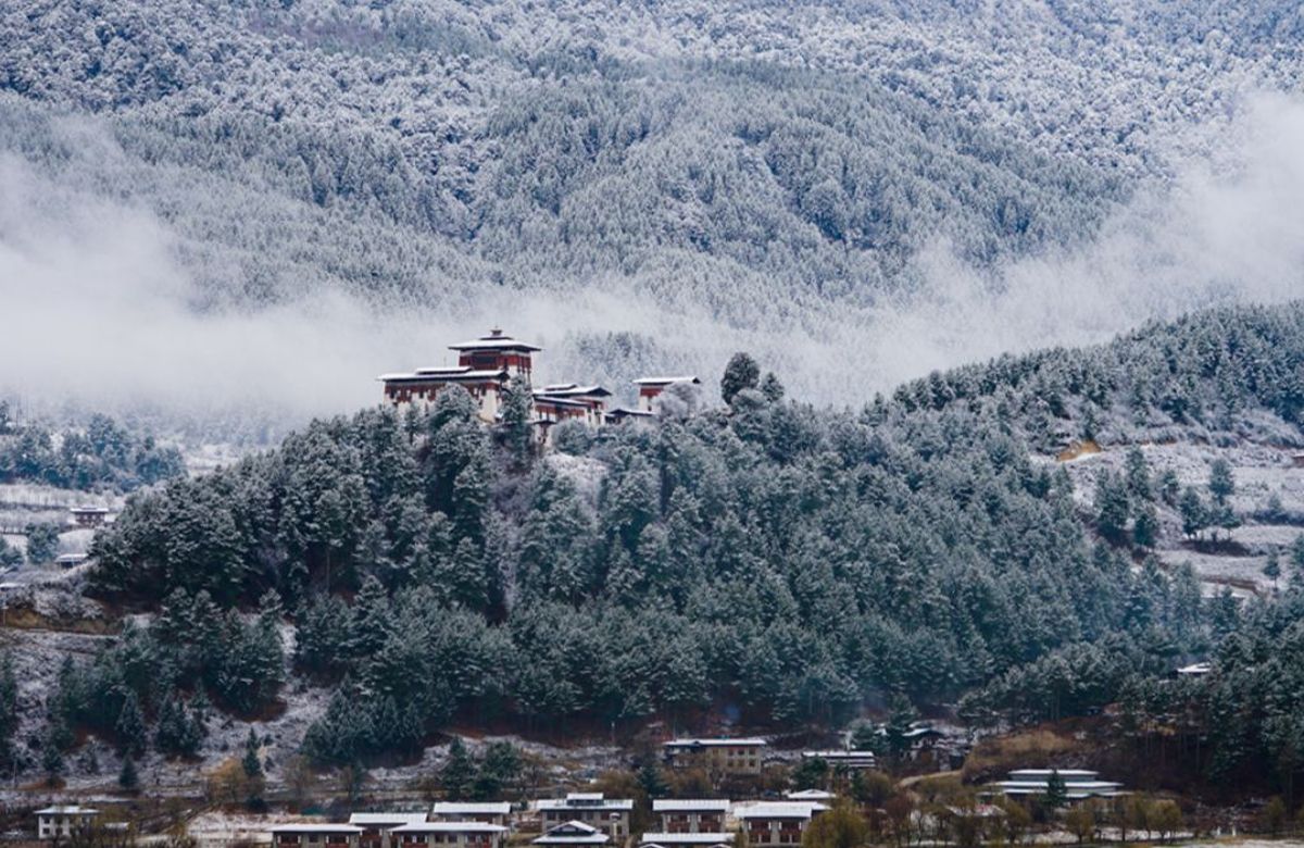
A dzong in central Bhutan under winter snow

Over the Yotong La into Bumthang

68 km · 3 hours Yotong La · 3,425 m Tower of Trongsa

We start at the Ta Dzong above Trongsa — the old watchtower, now the Tower of Trongsa museum, which sets out the history of the monarchy better than anywhere else in the country.

Then east over the Yotong La at about 3,425 metres and down into the Chhume valley, the first of Bumthang's four. Chhume is where Bhutanese yathra is woven — a thick woollen cloth in strong geometric patterns — and the weaving houses at Zungney are worth the stop.

Jakar, the main settlement of Bumthang, sits at around 2,600 metres in the Chokhor valley.

Driving: 68 km, about 3 hours Walking: 1–2 km Overnight: Bumthang (2,600 m)
Day07
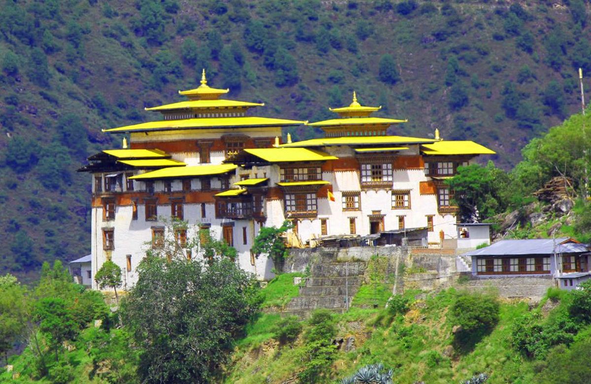
A gilded temple roof above the Bumthang valley

The temples of the Chokhor valley

Jambay Lhakhang Kurjey Lhakhang Valley walk

Jambay Lhakhang is traditionally counted among the temples founded in the seventh century by the Tibetan king Songtsen Gampo, which would make it one of the two oldest in Bhutan. Kurjey Lhakhang, a short distance up the valley, is built around a cave holding what is held to be the body imprint of Guru Padmasambhava.

Across the river, Tamshing Lhakhang was founded in 1501 by Pema Lingpa, the treasure-revealer whose lineage runs through this valley and whose descendants include the royal family. Its original murals are among the oldest surviving in the country.

In the afternoon, Jakar Dzong on its ridge, and a walk back down through the fields.

Driving: Short local drives Walking: 3–4 km across the day, gentle Overnight: Bumthang (2,600 m)
Day08
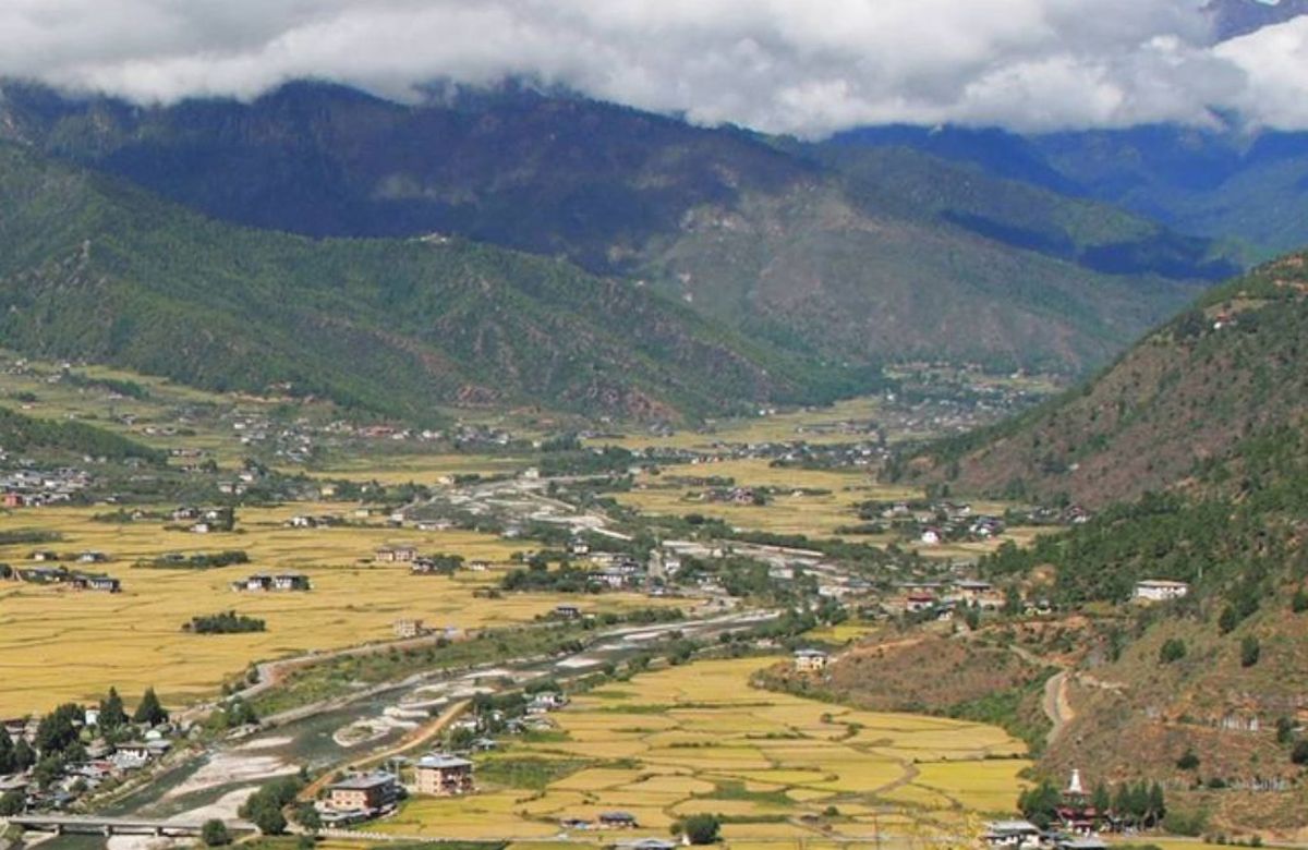
Forested ridges above a central Bhutanese valley

The Tang valley and Mebar Tsho

Tang valley Mebar Tsho Rough road, 2 hours

A day in the least developed of the four valleys. Mebar Tsho, the Burning Lake, is a pool in a gorge of the Tang Chhu where Pema Lingpa is said to have retrieved hidden treasures while holding a lit butter lamp — and emerged with the lamp still burning. It is a small place, hung with flags, and it matters enormously here.

Higher up the valley, Ogyen Choling is a manor house turned museum, run by the family that has held it for generations. It is the best surviving picture of how a noble household in central Bhutan actually lived, and the twenty-minute walk up to it is part of the point.

Note. The Tang valley road is rough in places. It is normally fine in a 4WD and occasionally closed after heavy rain.
Driving: About 2 hours in total, partly unsealed Walking: 1–2 km, some steps Overnight: Bumthang (2,600 m)
Day09
Villagers gathered at the Ura Yakchoe festival

Ura, then west to Trongsa

Ura · 3,100 m Return leg begins

Ura is the highest and most easterly of the Bumthang valleys, at about 3,100 metres — a compact village of clustered houses along cobbled lanes, which is unusual in Bhutan, where farmhouses normally stand apart in their own fields. Sheep grazing and potato farming still shape the year here.

In the afternoon we start back west, recrossing the Yotong La to Trongsa for the night.

Driving: About 4 hours in total Walking: 1–2 km around the village Overnight: Trongsa (2,200 m)
Day10
Rinpung Dzong in the Paro valley with snow peaks behind

Trongsa to Paro

Long drive west Rinpung Dzong

The long return over the Pele La and Dochu La. It is a full day on the road, broken at both passes and for lunch near Wangdue, and it is the price of having gone as far east as Ura.

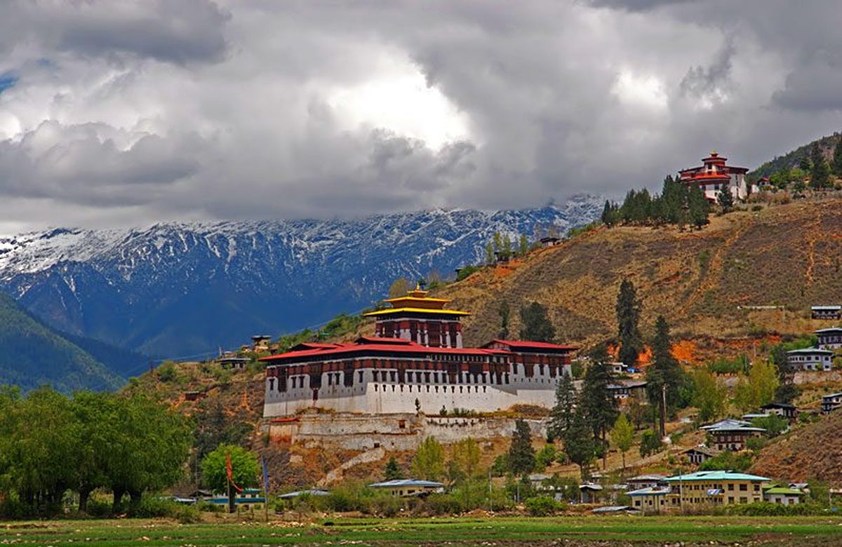
We arrive in Paro in the late afternoon with time for Rinpung Dzong, built in 1644, and the cantilever bridge below it. If you would rather add the Taktsang climb, we can restructure this day and the next — tell us at the enquiry stage.

Note. This is the longest driving day on the itinerary. We can split it with a night in Punakha or Thimphu if you would prefer — it adds a day.
Driving: A full day, roughly 7 hours with stops Walking: Short walks at the passes Overnight: Paro (2,200 m)
Day11
An aircraft in flight against a clear sky

Departure from Paro

Transfer to the airport

Transfer to Paro International for your flight. If your departure is late enough, there is time for the Sunday market or one last walk along the river.

Driving: 15 minutes to the airport
Altitude

What the route does to your elevation

Altitude range on this journey is 1,250–3,425 m. Sleeping heights matter more than the passes you drive over — see travel questions on altitude.

1,000 m2,000 m3,000 m4,000 m Paro2,235 mThimphu2,320 mDochu La3,100 mPunakha1,250 mPele La3,420 mTrongsa2,200 mYotong La3,425 mBumthang2,800 mUra3,100 mParo2,235 mDAY 1DAY 2DAY 3DAY 4DAY 5DAY 6DAY 7DAY 8DAY 9DAY 10
The quotation

What is included, and what is not

One figure covers everything on the left, the Sustainable Development Fee and the visa fee included. There are no compulsory extras added later.

Included in the quotation

  • All accommodation in Bhutan on a twin-sharing basis
  • All meals through the itinerary — breakfast, lunch and dinner
  • A licensed English-speaking Bhutanese guide throughout
  • Private vehicle and driver for the full itinerary
  • The Sustainable Development Fee for every night of the trip
  • Bhutan visa processing and the US$40 government visa fee
  • All monument, museum and dzong entry fees on the itinerary
  • Bottled water in the vehicle each day
  • A local SIM card on arrival

Not included

  • International flights to and from Paro
  • Travel insurance — strongly recommended, and your own arrangement
  • Single-room supplement, if you would prefer not to share
  • Drinks other than those served with meals
  • Laundry, telephone calls and other personal spending
  • Tips for your guide and driver, which are at your discretion

Important notes

  • Driving times are realistic estimates for Bhutanese mountain roads and assume normal conditions. Roadworks and weather can add to them, particularly during the monsoon.
  • Specific hotels are subject to availability and are confirmed at the time of booking.
  • Mountain views cannot be guaranteed. They depend entirely on the weather on the day.
  • The Sustainable Development Fee is set by the Royal Government of Bhutan and is included in every quotation we send.
  • This itinerary involves four driving days of three hours or more. That is the nature of central Bhutan — there is one road, and it crosses two passes above 3,400 metres.
  • The Bumthang valleys are high and cold at night from November to March. Not every hotel there has central heating; bukhari wood stoves are normal and effective.
Questions

Before you enquire

Is the driving really that long?
There are four substantial road days: Punakha to Trongsa, Trongsa to Bumthang, and the two-stage return to Paro. Punakha–Trongsa is the longest at roughly four and a half to five hours for about 130 kilometres, which tells you most of what you need to know about Bhutanese roads. We break every long day with stops, and the scenery is the point rather than the price.
Could we fly one leg instead?
There is a domestic airstrip at Bathpalathang in Bumthang with flights from Paro, and in the right season it can replace the two-day drive out or back. Schedules are limited and change seasonally, and weather cancellations do happen. Ask us at the enquiry stage and we will tell you whether it is realistic for your dates.
What makes Bumthang different from the west?
Height and age. The four valleys sit between roughly 2,600 and 3,100 metres, so the farming is buckwheat and potatoes rather than rice, and the air is thinner and drier. And the important buildings are temples rather than fortresses — Jambay Lhakhang and Kurjey predate the dzong system by centuries.
Do I have to book through a tour operator to get a visa?
No. Travellers may apply directly through Bhutan's official online system, or have a tour operator or hotel apply on their behalf. The visa fee is US$40 per person, one-off and non-refundable. If you book this journey with us we handle the application as part of the arrangements.
What are the hotels like?
We book comfortable, well-run hotels chosen for location and service rather than for a star rating. If you would prefer a particular property, or a higher grade of hotel, tell us in your enquiry and we will quote it. Specific hotels are confirmed at the time of booking and are subject to availability.
Can the itinerary be changed?
Yes. Every departure is private, so the route, the pace and the number of nights in each place are all adjustable. Tell us roughly what you want and we will send a revised plan with the quotation.

More general questions are answered on travel questions.

Dragon's Heartland

Send Inquiry & Get a Quotation

We do not publish prices, because a private trip priced honestly depends on your dates, your group and the hotels you want. Tell us those three things and you will have a real figure.

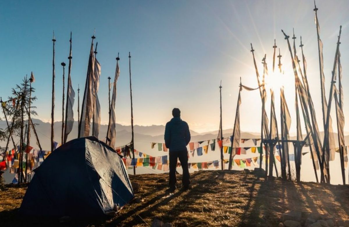
A guide standing among tall prayer-flag poles on a Bhutanese ridge
Talk to us

We answer every enquiry ourselves

No call centre and no automated quote. A person in our Thimphu office reads what you have written and replies with a plan built around it.

Enquiry

Enquire about Dragon's Heartland

Private departure on any date you choose. We reply with a written itinerary and a full quotation.

Selected Value: 0
Duration
Accommodation